How to prioritize abandoned mine sites for a watershed-scale screening survey
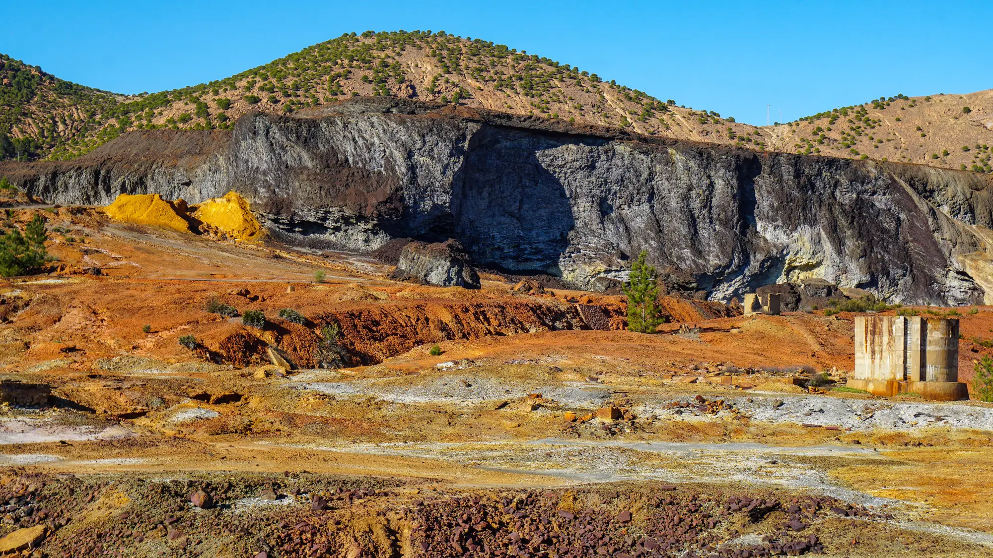
Most abandoned mine land programs are sitting on an inventory with more sites than the budget can ever visit. eAMLIS or your state's own AML database might list two hundred features in a single HUC-8, everything from a collapsed adit to a tailings pile that's been quietly leaching since before anyone on staff was hired. The real task is prioritizing without just working down the list in whatever order someone entered it twenty years ago.
Start with what the inventory already tells you
Before any field work, pull everything the inventory already has and sort it by what kind of feature it is. A highwall is not a discharge risk. A flooded shaft with a documented seep is. Adits, portals, and tailings impoundments near a perennial stream get pulled into one working list; waste rock piles with no hydrologic connection go in another. This step alone usually cuts a two-hundred-site list down to something closer to sixty or seventy candidates worth a second look, and it costs nothing but a few hours with a spreadsheet.
Group by sub-watershed, not by windshield time
The instinct on a tight budget is to cluster work by how close everything sits on a road map, so one crew can hit four stops in a day. That's a mobilization decision, and programs routinely treat it as a prioritization decision instead. What actually matters for a screening survey is which features sit in the same sub-watershed and could be contributing to the same downstream reach. Two locations ten miles apart by road but in the same headwater catchment matter more to each other than two a quarter mile apart but on opposite sides of a drainage divide. Build the priority list around HUC-12 boundaries first, then figure out driving routes second.
Rank by discharge signature, not by site age or permit status
Legacy mine site prioritization lists built off permit history or date of abandonment tend to reward paperwork, not water chemistry. A site that closed in 1987 with a documented NPDES violation isn't automatically worse than an unpermitted adit nobody's looked at since the 1960s. What separates a candidate worth a sampling crew from one that can wait is whether there's an active discharge: a seep with visible ochre precipitate, a settling pond that's gone turquoise from dissolved metals, a downstream reach with iron hydroxide coating the streambed past where tributaries would normally dilute it. Field notes from previous visits, aerial photos in the file, even a landowner complaint about orange staining are worth more at this stage than a clean regulatory history.
Where a desk screen fits before you mobilize a crew
Here's the part most AML programs skip, usually because nobody's set up to do it: before committing a crew to confirm which candidates are discharging right now, you can look at the ponds and downstream plumes from above. Multispectral satellite imagery picks up the same ochre and turquoise signatures a trained eye looks for on the ground, iron oxide staining, metal-laden ponds, a plume extending downstream from a point source, across a whole watershed at once instead of one visit at a time. That doesn't replace a water-sampling campaign. It tells you which flagged locations on your sixty-candidate shortlist are showing an active signature this month, so the crew gets sent to the three that are visibly discharging instead of working through all sixty in sequence.
A monthly screen like the one Mine Water Quality runs over a defined watershed won't give you lab-grade metals data, and it isn't meant to. It gives a program with limited field days a flagged-pond and plume-extent layer to sit on top of the inventory triage already done, so next quarter's sampling schedule can prioritize the ones showing color change right now rather than the ones closest to the truck.
If your watershed screening priority list has stalled on which of sixty candidates to send a crew to first, a spectral pass over the whole drainage before you mobilize is worth a look.