Limestone spring or AMD seep? Reading color signatures from above
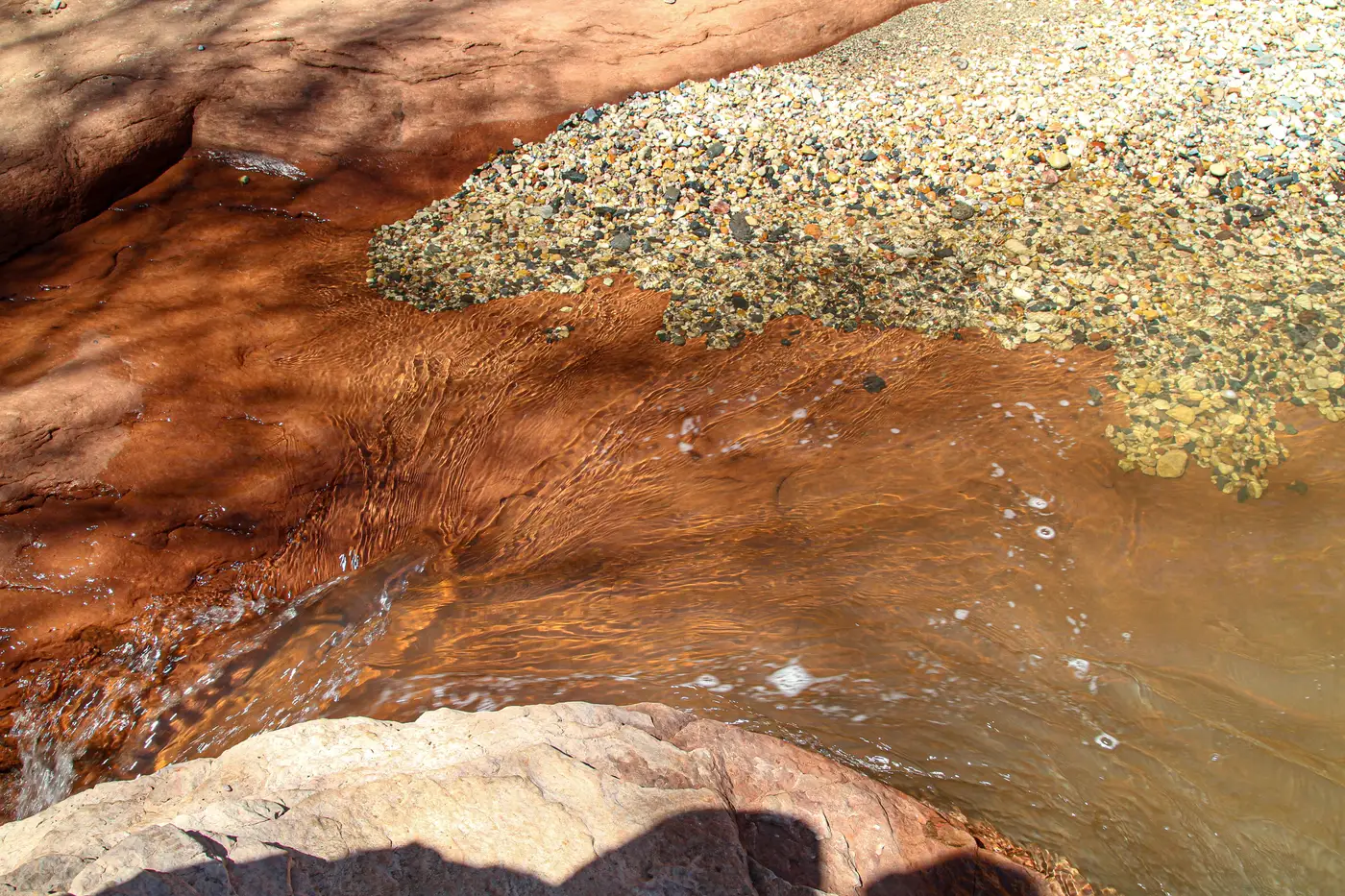
A field tech pulls up imagery of a stained streambed below an old adit and asks the only question that matters before anyone drives out: is that crust iron from the workings, or calcium carbonate from a spring that has nothing to do with mining at all. Both can look orange-ish from above. Only one of them belongs on a watershed screening report.
What the color is actually telling you
Ochre staining on a channel bed or pond margin is usually ferric hydroxide, iron that was dissolved in acidic water and dropped out as a solid once it hit oxygen and the pH climbed past roughly 3. It reads rust-red to orange, and it tends to sit right where a seep or adit discharge meets open air or daylight.
Turquoise or pale blue-green water in a pond is a different chemistry story. It can be aluminum hydroxide precipitate, it can be fine clay held in suspension by acidic water, or it can just be the optical effect of shallow water sitting over a light-colored streambed. None of that is unique to mine drainage.
Limestone, by contrast, deposits calcium carbonate. Travertine and tufa come out pale cream to white, sometimes greened over with algae where flow is slow and steady. At a 10-30 m pixel, a wide-swath multispectral scene is averaging gravel, water film, and mineral crust into one spectral signature per pixel. A calcareous seep and a weathered sulfide outcrop can land in a similar place in that averaged signal. That's the false positive a watershed screen has to account for, not ignore.
Where a limestone spring fools the screen
Three things separate a real AMD candidate from a calcareous seep that happens to sit in the wrong color bin:
Geologic context matters first. A seep emerging from mapped karst or carbonate bedrock is a different proposition than one daylighting through coal measures or a sulfide-bearing unit. Pull the geologic map before you pull a crew.
Position relative to known workings matters second. A pale or ochre-tinted feature half a kilometer from any mapped adit, shaft, or tailings area, with no plausible hydraulic connection, deserves a second look before it gets flagged as a priority.
Downstream behavior matters third. A calcareous spring's precipitate load tends to be fairly stable through the season. An AMD plume often shows more variability, stronger after storm flushing or low base flow concentrates the discharge, fainter when dilution from clean tributaries kicks in. One month of imagery won't show you that. A repeated monthly pass will.
The net alkalinity field screen nobody can skip
pH by itself resolves less than people expect. Some AMD discharges run close to neutral because the water has passed through enough carbonate rock on its way out to buffer the acid it's carrying. Some naturally occurring springs run slightly acidic from dissolved CO2 or organic acids with no mine connection whatsoever. Color and pH both miss this.
Net alkalinity, alkalinity minus acidity, titrated with a field kit or sent to a lab, is the number that actually settles it. Positive net alkalinity means the water is net acid-neutralizing. Negative means it's net acid-producing, whatever the color looked like from orbit and whatever the pH strip read on site.
That's the honest limit of a spectral screen. A monthly watershed pass that flags candidate ponds and plumes for follow-up tells you where to point the sampling crew first. It doesn't replace the titration, and it was never meant to.
Run a watershed through that kind of screen before the next field season, and you'll know which seeps deserve a kit and a crew before you drive anywhere.